
Services
UAS
Get a Clear picture of your terrain, effortlessly
Datapoint’s Unmanned Aerial Systems (UAS) services enhance project planning, data collection, and site analysis by providing accurate, high-resolution aerial data in a safe and cost-effective manner. Our UAS capabilities allow for rapid assessment of project sites, giving clients and project teams a comprehensive understanding of existing conditions prior to design and construction.
Operated by FAA Part 107 Certified pilots, our UAS program supports topographic mapping, aerial surveying, volumetric analysis, and high-accuracy photogrammetry. We utilize advanced processing workflows to generate orthomosaics, point clouds, and 3D surface models that integrate directly with our GIS and CAD platforms, ensuring seamless coordination between field data and design development. These tools are particularly valuable for large, remote, or difficult-to-access sites where traditional survey methods may be less efficient.
Safety and data quality are central to our UAS operations. All flights are conducted in compliance with FAA regulations and company safety protocols, with careful planning to address airspace, environmental conditions, and site-specific risks. By combining skilled pilots, advanced technology, and integrated data workflows, Datapoint delivers reliable aerial solutions that improve project efficiency, reduce field time, and support informed decision-making throughout the project lifecycle.

UAS Capabilities
Aerial Mapping of Project Sites
High Density Aerial Point Cloud Collection
3D Rendering and Analysis
Aerial Construction and Project Updates
Abbreviated Site Visits
Close Range Photogrammetry
Aerial Thermal Inspection
Video Inspection of Facility Equipment and Existing Conditions
UAS Equipment
DJI Matrice 300
- Yellowscan Mapper Plus LiDAR Sensor
- Sony P1 Ortho Camera
Astromax Freefly (NDAA Compliant)
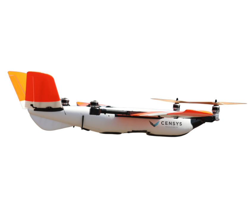
Censys Sentaero 5 (NDAA Compliant)
DJI Matrice 300