
Services
GIS & Mapping

Unparalleled GIS Services
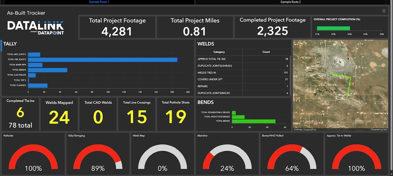
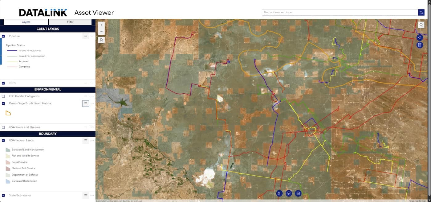
Datapoint delivers comprehensive GIS services built on Esri's ArcGIS platform. Whether it's real-time field data visibility, a centralized data repository, tailored mapping applications, or custom client-facing dashboards, our GIS team designs and maintains the tools to support it.
A Central Base for Your Most Important Data
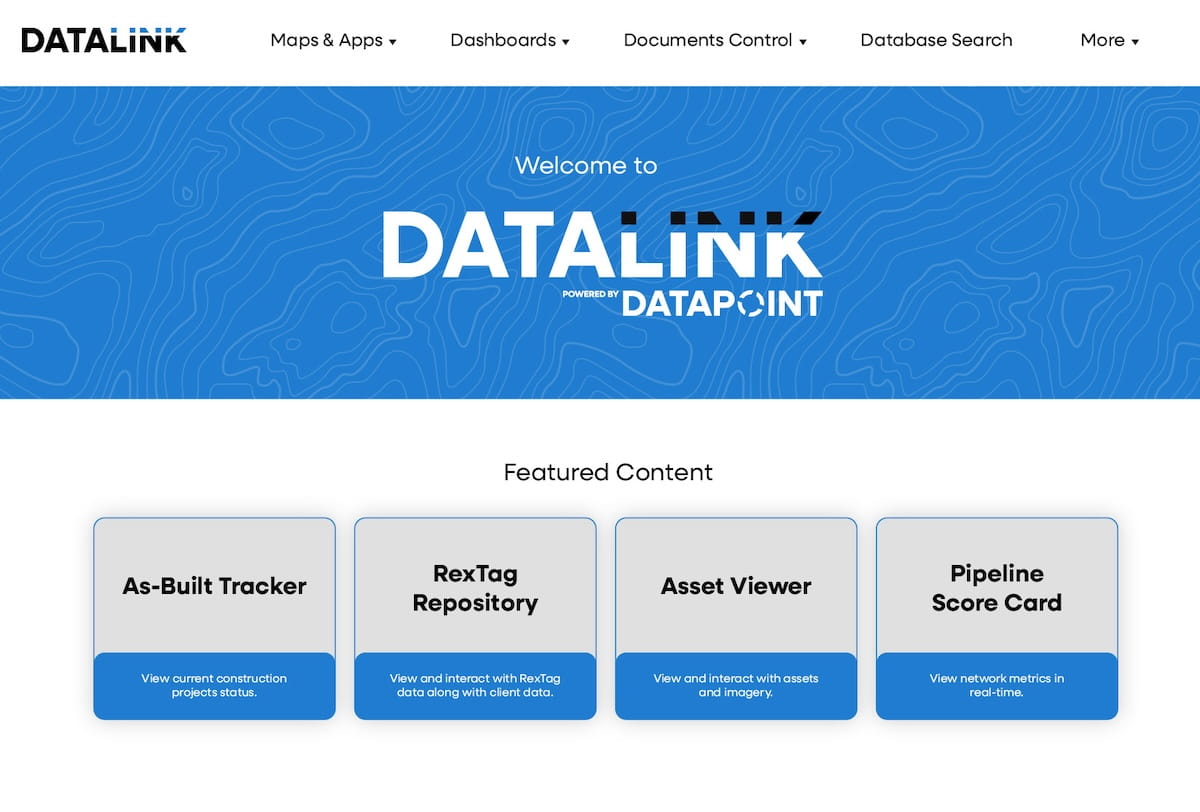
Our clients access their data and deliverables through DATALINK, a secure, branded ArcGIS Enterprise portal that serves as a single hub for interactive viewers, project tracking, document control, and spatial analysis.
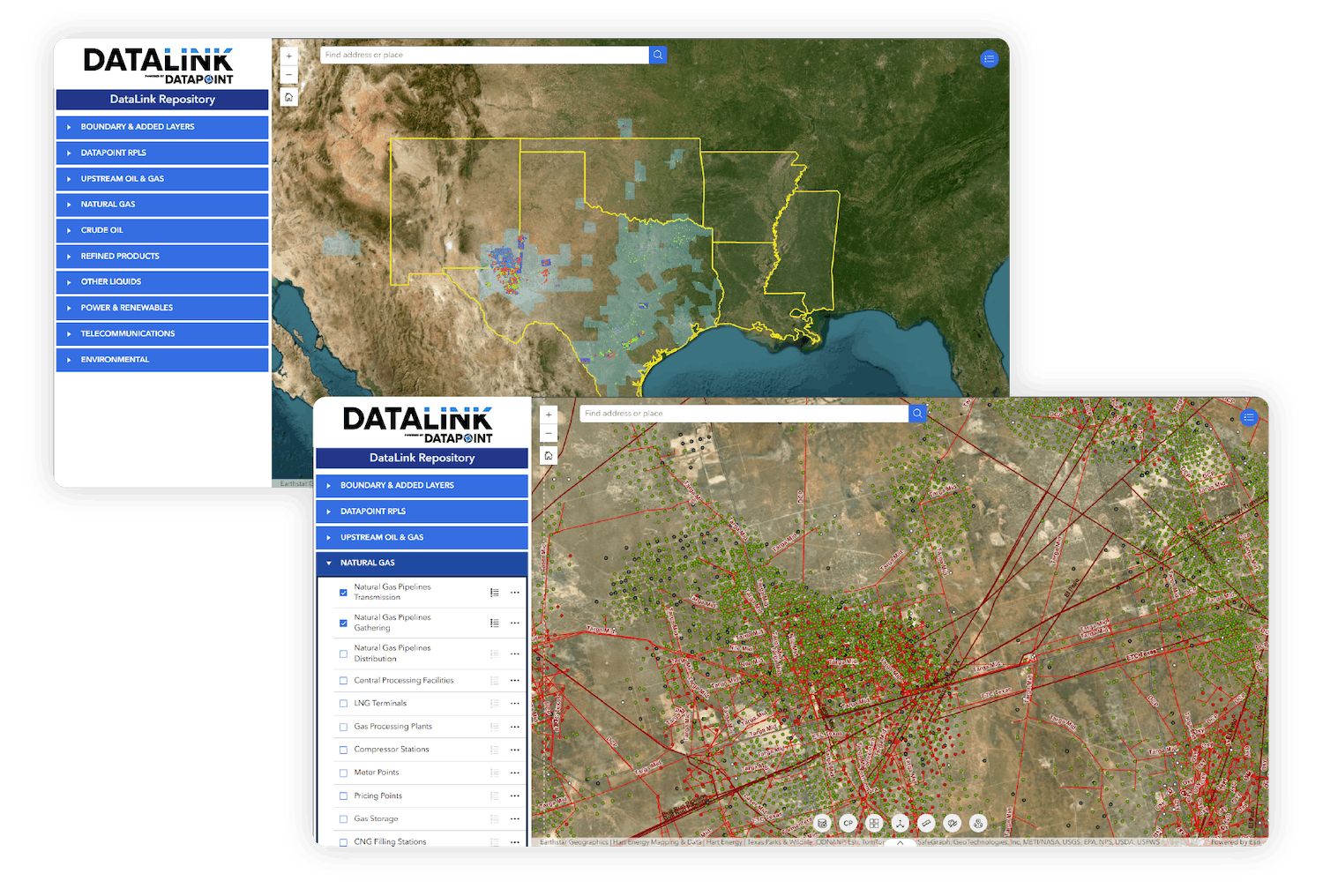
Every DATALINK environment is built to the specific needs of the client and project. The DATALINK Repository serves as a centralized, searchable data library where clients can access survey deliverables, GIS datasets, data subscriptions, environmental layers, cadastral and ownership information, and more — all in one place.
Supporting all types of projects across industries
Utility and infrastructure management
feasibility analysis for commercial and residential development
Environmental review
Municipal and regional planning
route planning
Customizations for your needs.
Geographic Information Systems Software
- AutoCAD Civil 3D
- Carlson
- Global Mapper
- ESRI Products
- ArcGIS Pro
- ArcGIS Enterprise
- ArcGIS Image Server
- ArcGIS Field Maps
- PLS-CADD