
Our Markets
Utilities
Utilities Engineering & Surveying
Navigating complex utility projects with precision
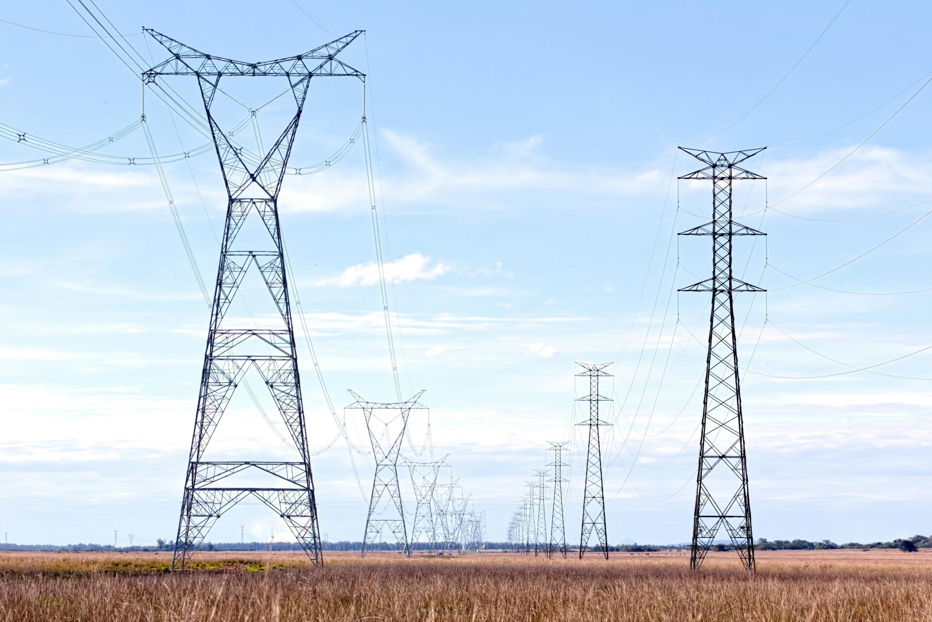
Datapoint is proud to provide land surveying, GIS and mapping, as well as UAS to clients in the oil and gas industry across the southern United States. We understand the oil and gas industry markets across Texas and New Mexico better than most and are proud contributors to countless pipeline and other oil and gas projects.
From constructing a detailed understanding of the terrain to well staking and pipeline mapping, our teams are in the field every day, giving us a leading-edge on the industry’s latest technological developments
Safety First
UAS can be mission-critical to getting an accurate, cost-effective view of your land conveniently from the skies, so that professional teams and every municipality can understand the scope and purview of every project before breaking ground.
At Datapoint, safety is our first priority, which is why our UAS pilots are Part 107 Certified, trained experts for flying and handling unmanned aircraft. With us, you can rest easy knowing the most skilled technicians are behind every aircraft and committed to providing the best surveying solutions.